Mels GeoTrail
The 6 km long Melser GeoTrail leads through the village centre of Mels and relaxing forest areas.
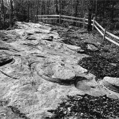
At the Melser GeoTrail, earth history is presented with the help of over 30 characteristic pieces of rock. The presented topics always refer to the carefully selected locations of the informational panels: mining, stronghold construction, millstone and well production, iron smelting, glass production, grain mills, prehistory, earth history, mountain building and natural habitats.
Starting points: Mels
Length: 6.1 km
Metres of ascent: 204 m
Time required: 3½ h
Max. elevation: 643 m.a.s.l
Places along the route Mels – Plons – Schlings – Castels – St.Martin – Rüfi – Mels
Guided tours: info@impergeologie.ch / 081 723 59 13